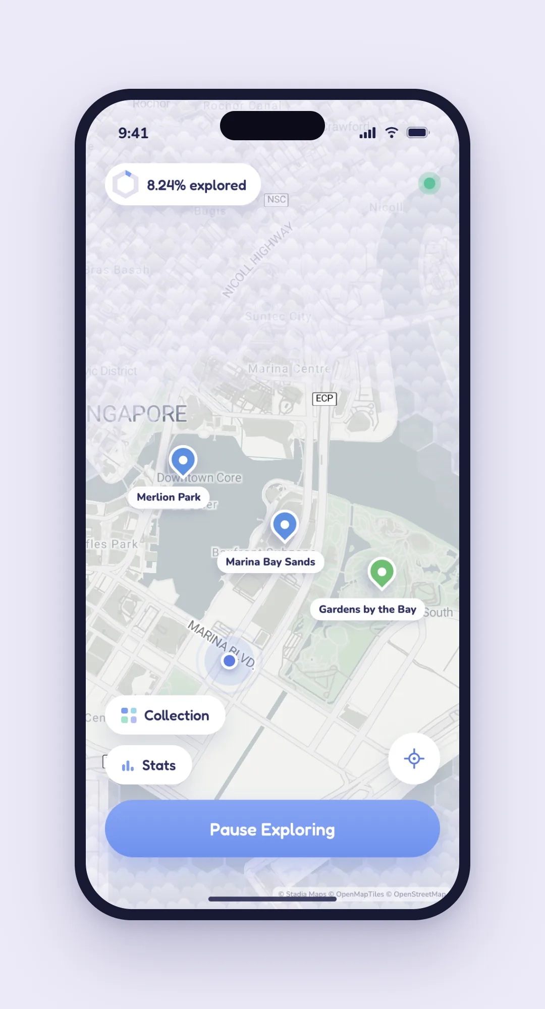
Built two months after moving to Singapore: new city, new marriage, every guide pointing to the same ten places. So exploring became a game: clear the hex cell (H3) you linger in, get near a landmark to collect it.
The problem
Tiles need network.
~120k cell features choke the RN bridge.
GPS noise paints cells you never visited.
Offline, one polygon, hardened dwell, or it doesn’t work.
The approach
Pure exploration core (dwell, distance, geometry, all unit-tested) under a thin RN shell. One coordinate stream in, fog and discoveries out.
The result
One masking polygon however much you clear.
Dwell survives noise.
Discovery keys on raw coordinates.
Fully offline.
What I built
Pre-fetched offline tile pack, trading download size for zero runtime tile calls.
Fog as ONE polygon with H3 cells punched as holes: no 120k features, no bridge bottleneck, no pan stutter.
Noise-hardened dwell, dropping >50m GPS jumps. Data integrity over raw plotting.
Discovery via haversine on raw coordinates; hidden POIs stay out of the render tree until found.
Gallery